Ban Tha Thum, Chiang Mai Thailand
Field Work Instructor: Tommy Yang
Student Design Researchers include Mint Apisada Hanbujerd, Jakub Klaban, Yuyu Thanapond Namnanthasith, Emma Van Wickler, Luis Urribarri,
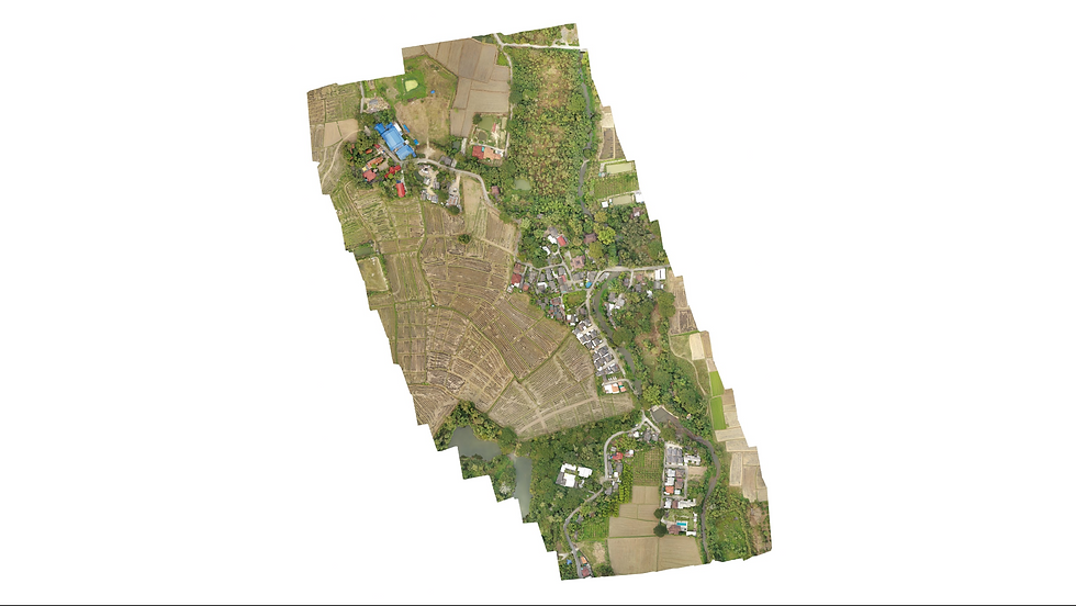
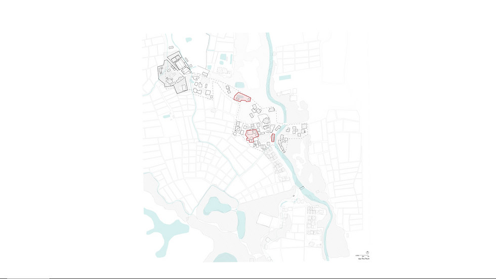
The Village of Ban Tha Thum is located in the North Easter rural area in the second outer ring of highways surrounding the city of Chiang Mai. These four villages are to the west of the "Handicraft" Highway and are quickly evolving into suburbs much like the ones deriving from Western urbanization ideas of co-housing developments.
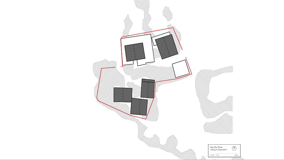
Ban Tha Thum was founded about 150 years ago. Currently, it holds a population of about 500 people that work and live in the agriculture field. In the last 15 years, the village has been facing major economic, social, environmental, and technological changes as well as urbanization strategies from the government such as rezoning of the districts within villages causing them to split from their family-nuclear system of housing.
The village is geographically split by the Mae Kuang that serves as the main source of water for irrigation of farming as well as consumption for everyday activities. The river is a tributary component of a network of rivers and canals deriving from the Mae Kuang reservoir in order to provide equal distribution of water for all the villages in the area.
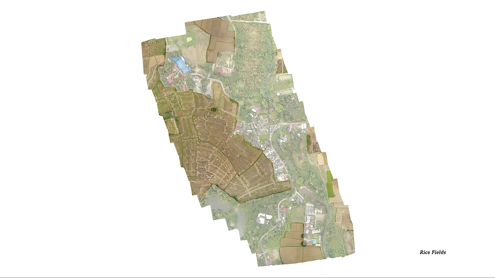
The village survives in the farming of rice patties and some alternative ways of income that are becoming part of their economies such as the production of wood products from reclaimed wood, metal recycling, and auto repair, and plastic recycling. There is also a small distributor for dairy products, convenience stores, and a meditation center located in the religious compound.
